Eyeballing
the
NYC Queens Gas System
|
This file is available on a Cryptome DVD offered by Cryptome. Donate $25 for a DVD of the Cryptome 10-year archives of 35,000 files from June 1996 to June 2006 (~3.5 GB). Click Paypal or mail check/MO made out to John Young, 251 West 89th Street, New York, NY 10024. Archives include all files of cryptome.org, cryptome2.org, jya.com, cartome.org, eyeball-series.org and iraq-kill-maim.org. Cryptome offers with the Cryptome DVD an INSCOM DVD of about 18,000 pages of counter-intelligence dossiers declassified by the US Army Information and Security Command, dating from 1945 to 1985. No additional contribution required -- $25 for both. The DVDs will be sent anywhere worldwide without extra cost. | |||
28 September 2004. One of the Eyeball series.
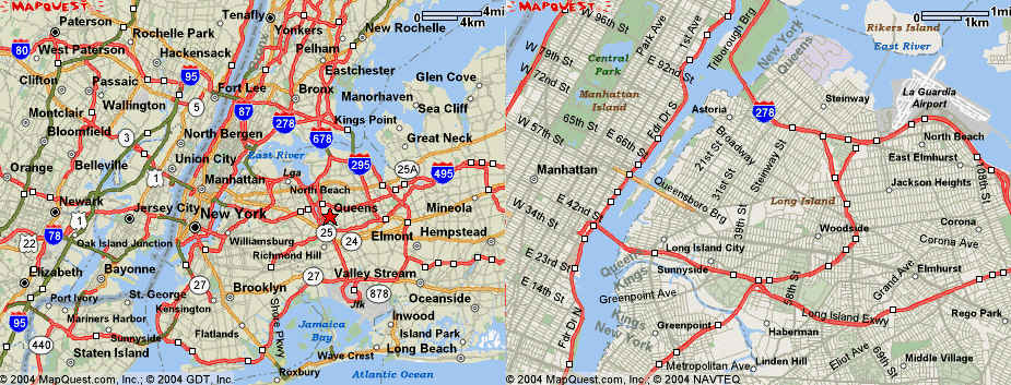
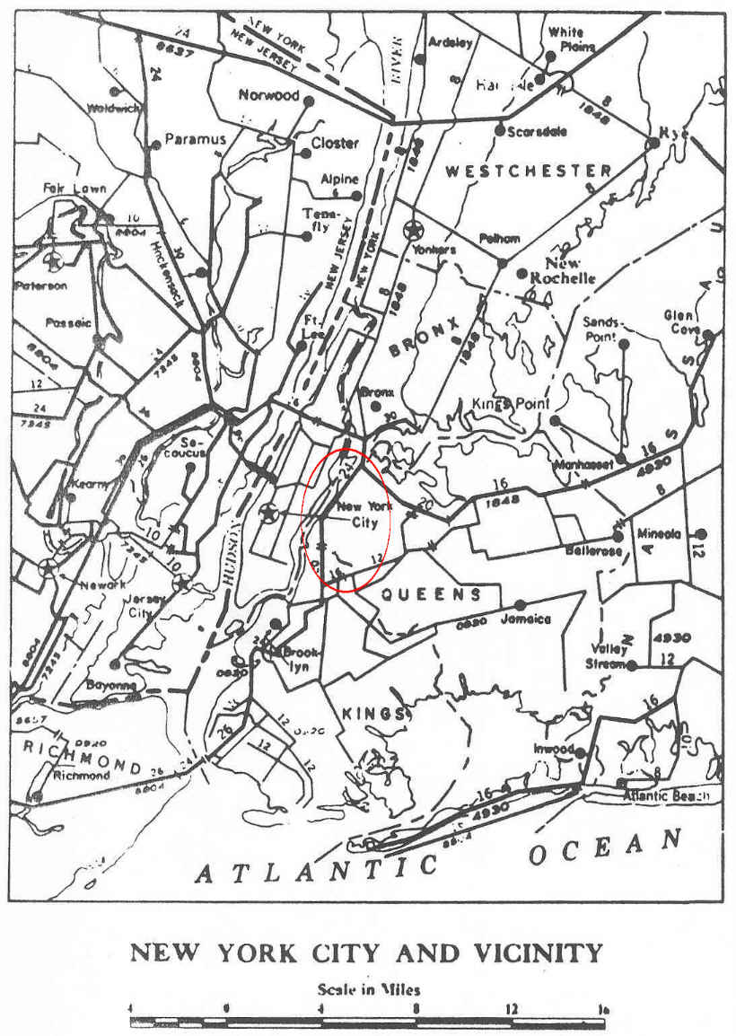
Maps from Mapquest.com
Source of aerial photo composite:
Getmapping.
Ground level photos by Cryptome, 26 September 2004.
Cryptome has red-teamed Manhattan natural gas pipelines in the RNC Preparation Series, a Bronx facility, and the Brooklyn gas system. This red-teams the pipeline system in Queens, NY. (Red-teaming identifies vulnerabilities so they can be addressed.)
|
|
|
 |
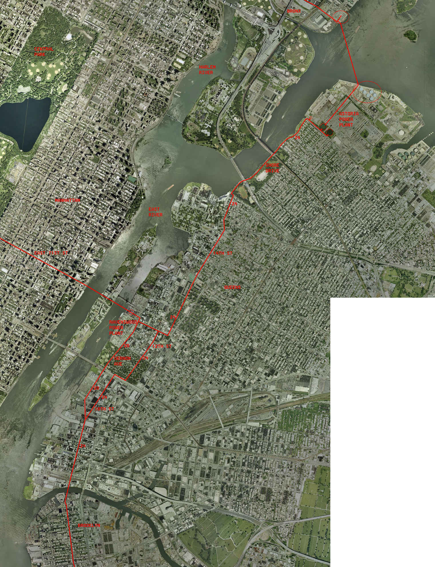 |
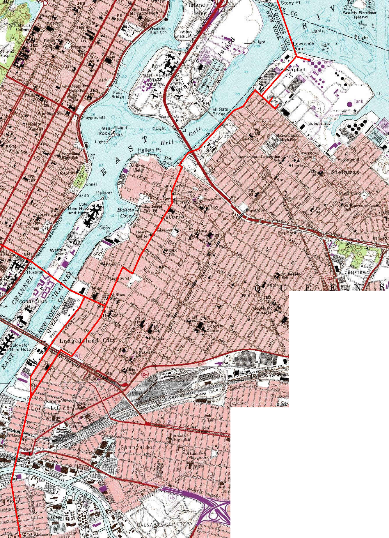
The photos below trace the route of the main gas pipeline from the Astoria
Power Plant at the north shore
of Queens to the southern boundary with Brooklyn. The route of the pipeline
was easily seen from bright
yellow street markings and periodic gas regulator/vents.
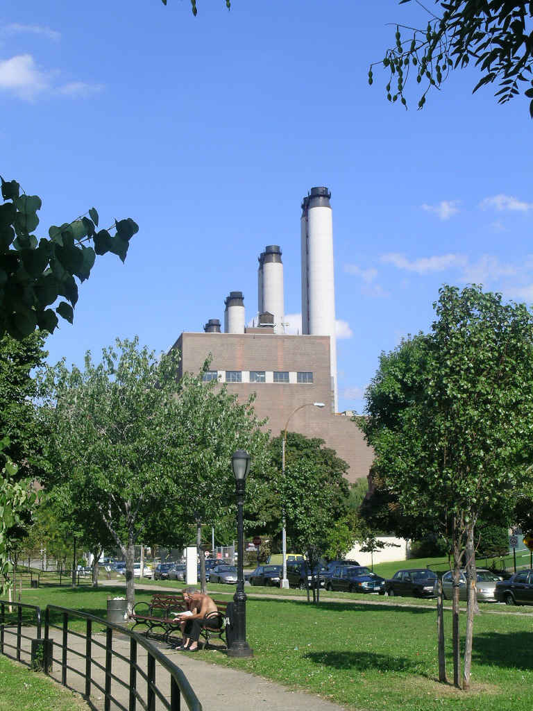
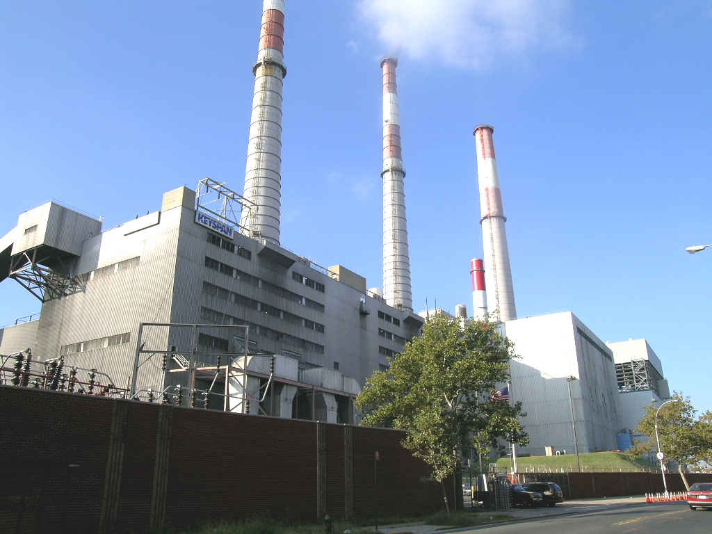
| Astoria Power Plant, Shore Boulevard and 20th Avenue, Queens. There
were security personnel at operating gates of the plant.
|
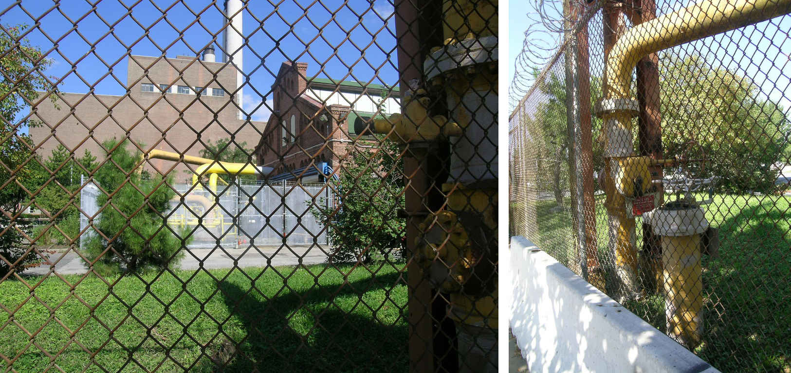
| Main gas pipeline going into what may be a compressor station in the
Astoria plant, protected with fencing along 20th Avenue, foreground, and around the piping on the plant grounds.
|
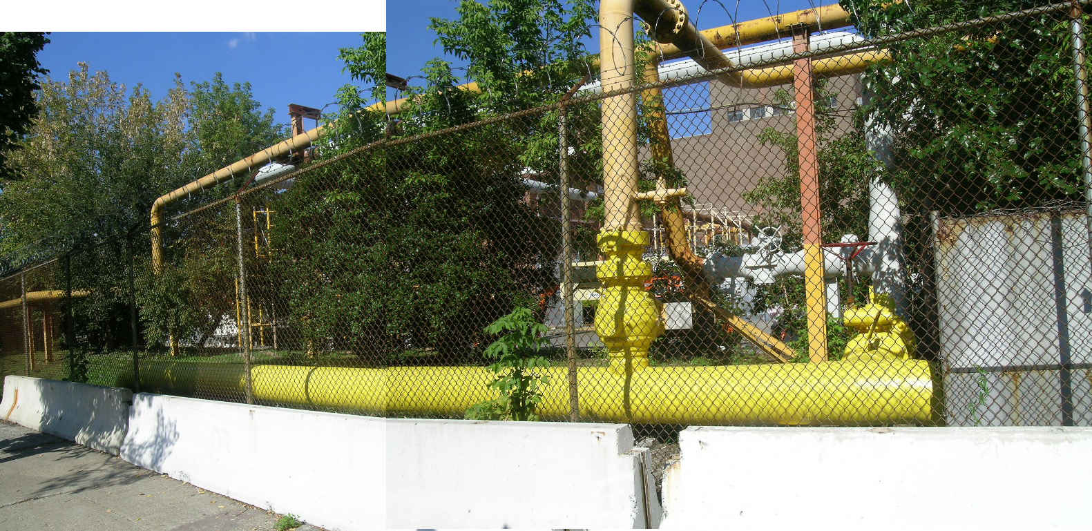
| Gas pipeline serving the power plant along 20th Avenue, lightly protected
with concrete barrier and fence.
|
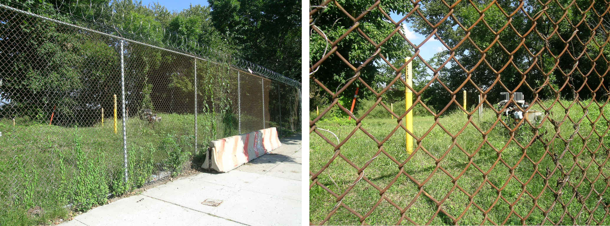
| An exposed control valve of the gas pipeline along 20th Avenue, lightly
protected by single barrier and fencing.
|
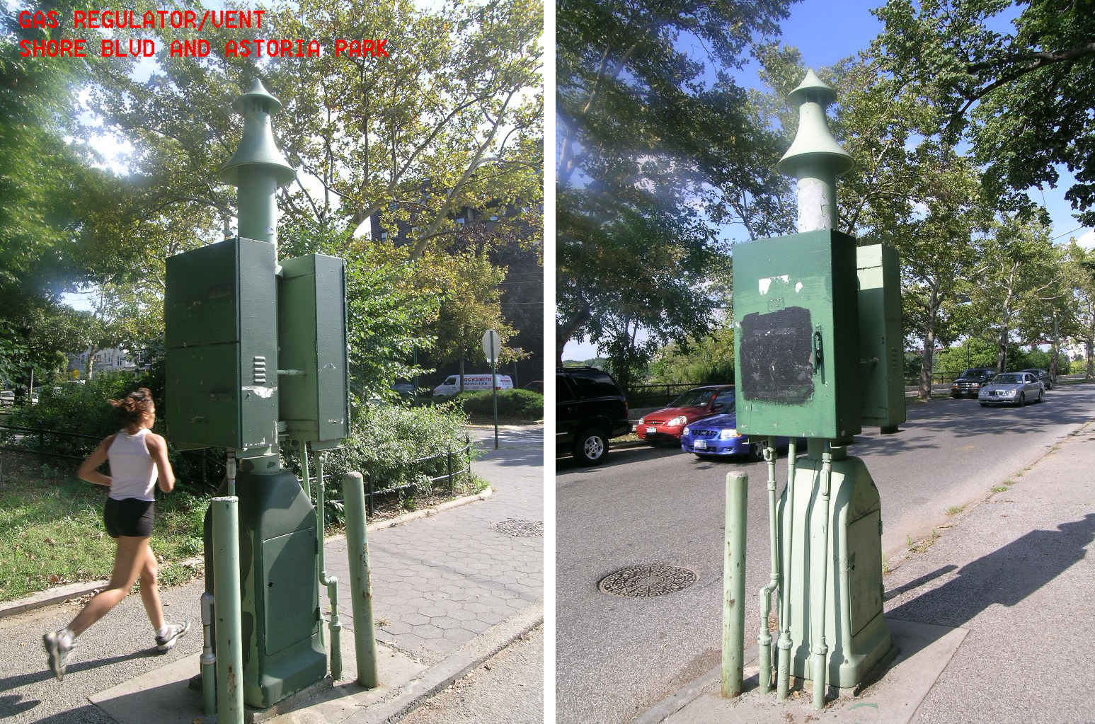
| Gas regulator/vent at Shore Boulevard and Astoria Park, south of Astoria
Power Plant.
|
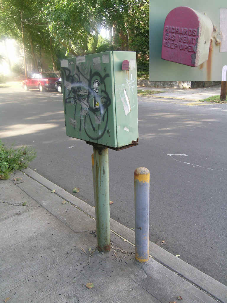
| Gas regulator/vent on a branch pipeline.
|
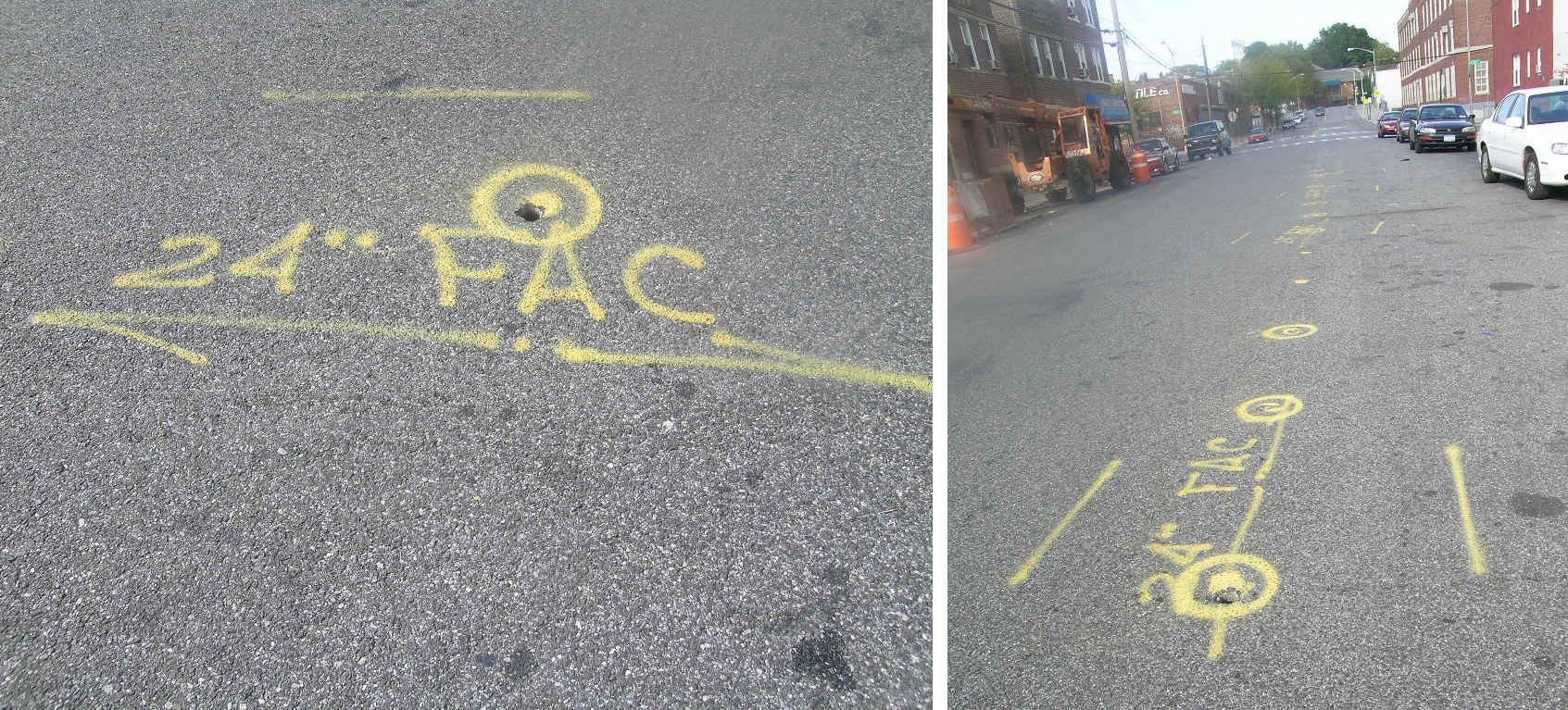
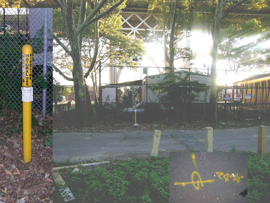
| Pipeline markings on 14th Street, giving the pipe size as 24 inches
and titled "FAC." "Bar holes" had been drilled along much of the pipeline route, perhaps to indicate upcoming repair work.
|
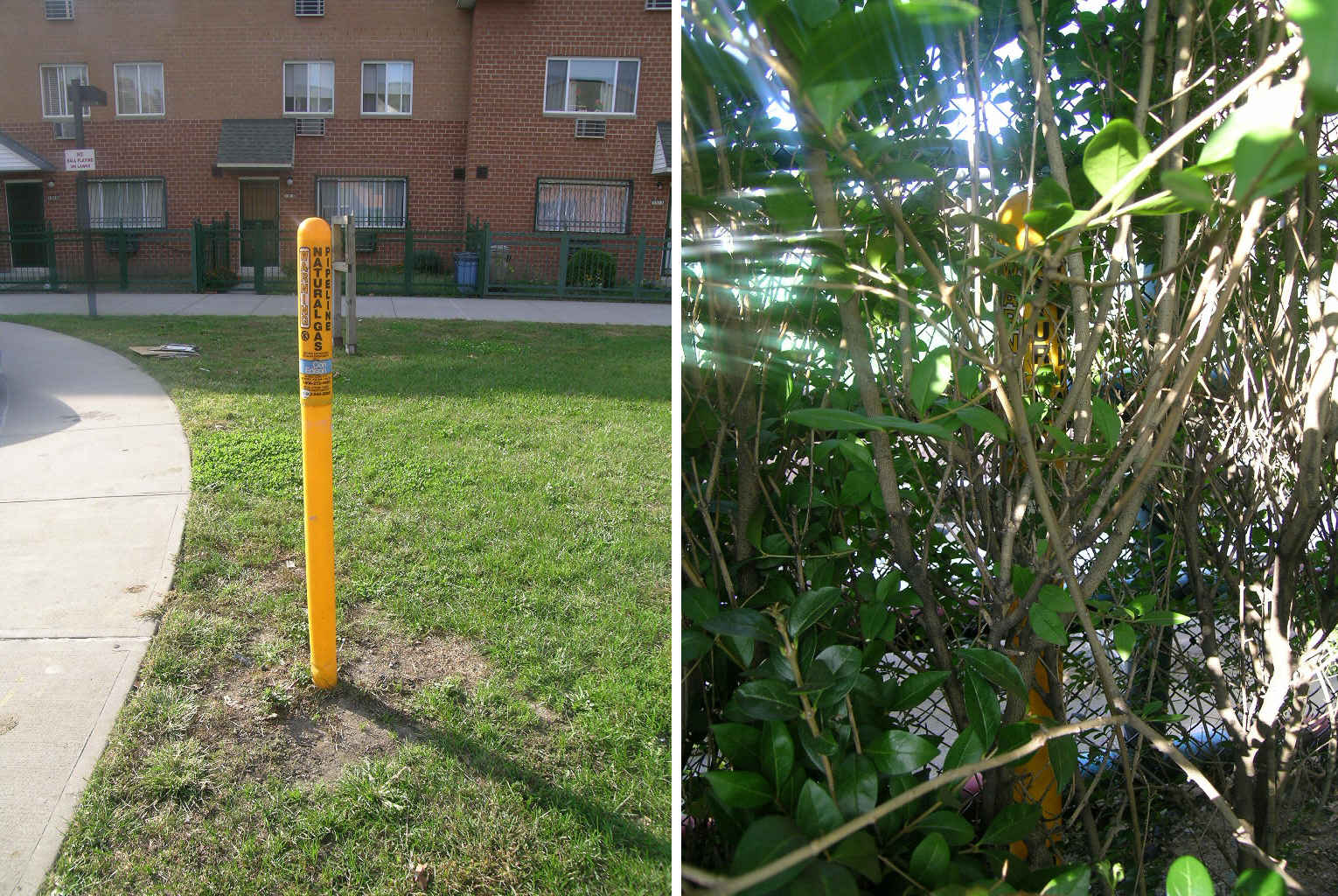
| Pipeline markers at a landscaped area which interrupted 14th Street
near 33rd Avenue, the marker at right just visible in a hedge around a tennis court.
|
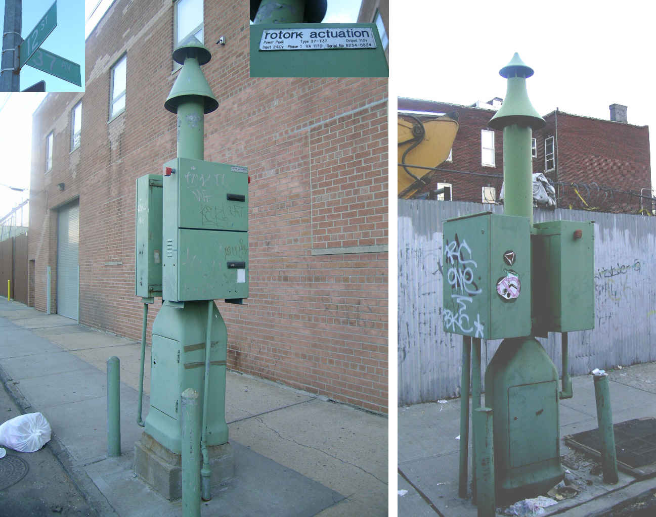
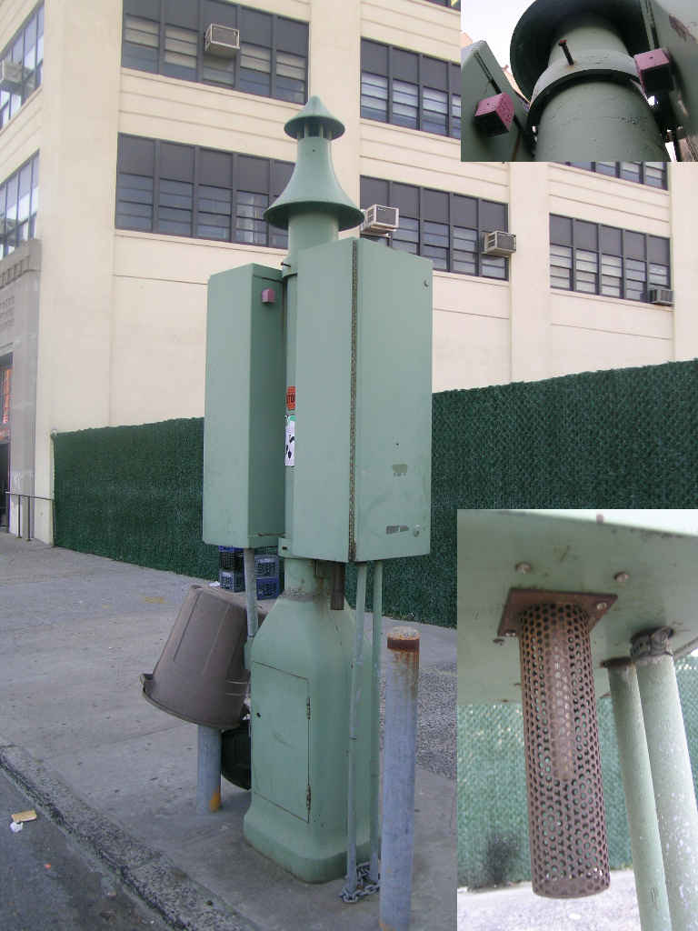
| Gas regulator/vents at 12th Street and 37th Avenue. There were pipeline
street markings along much of 12th Street.
|
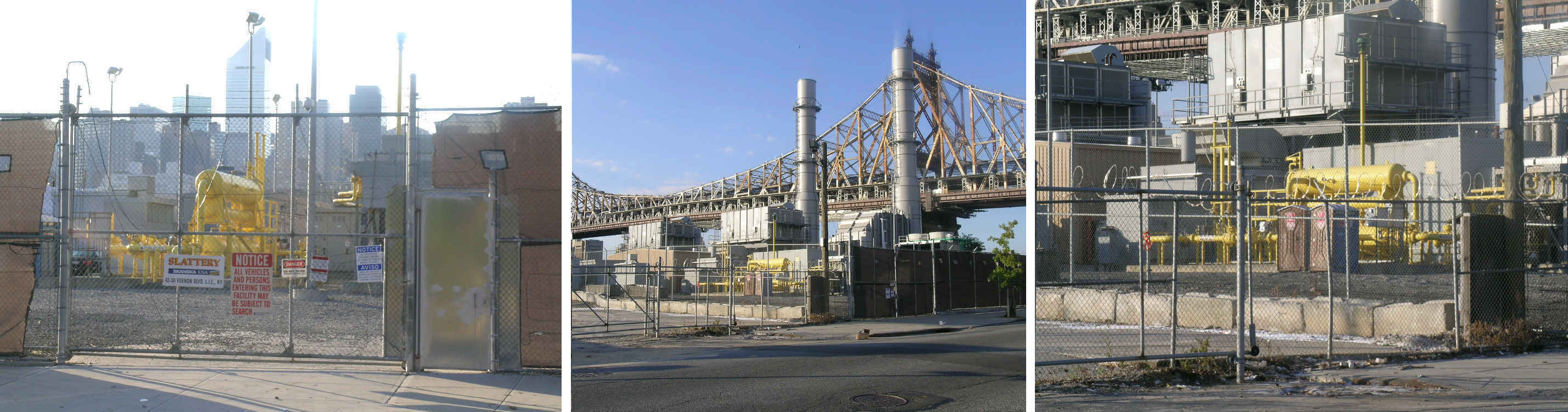
| The Ravenswood Power Plant, Vernon Boulevard and 36th-38th Streets.
Security personnel were on duty at operating gates.
|
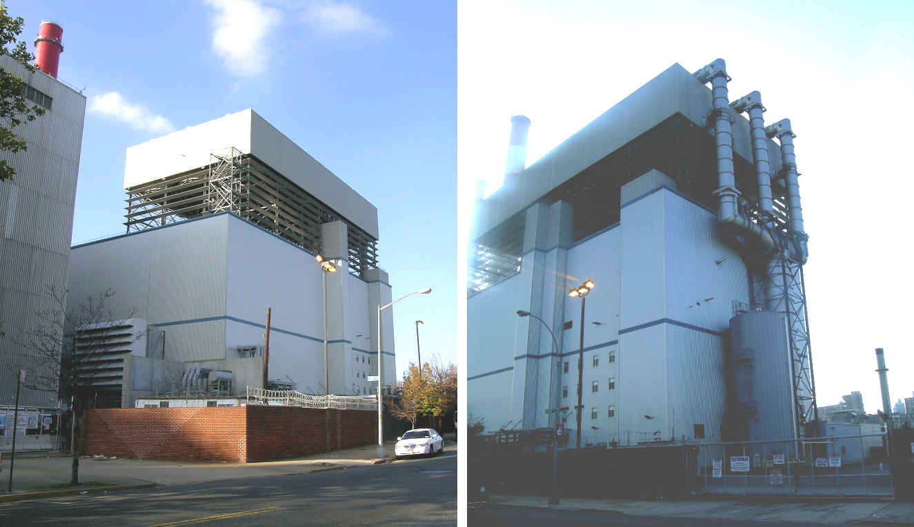
| A new gas-fueled power plant at the Ravenswood Power Plant on Vernon
Boulevard at 38th Avenue. More: http://www.usacivil.skanska.com/skanska/templates/page.asp?id=4431
|
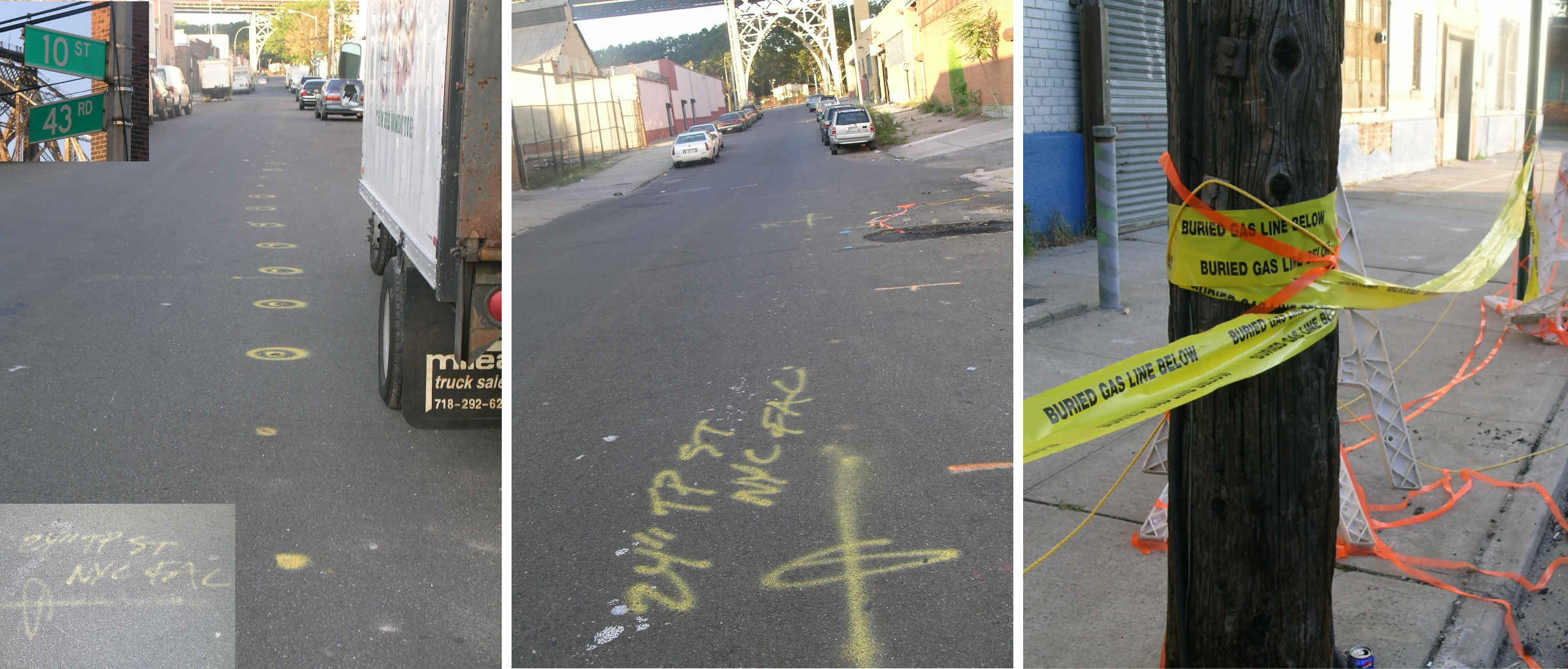
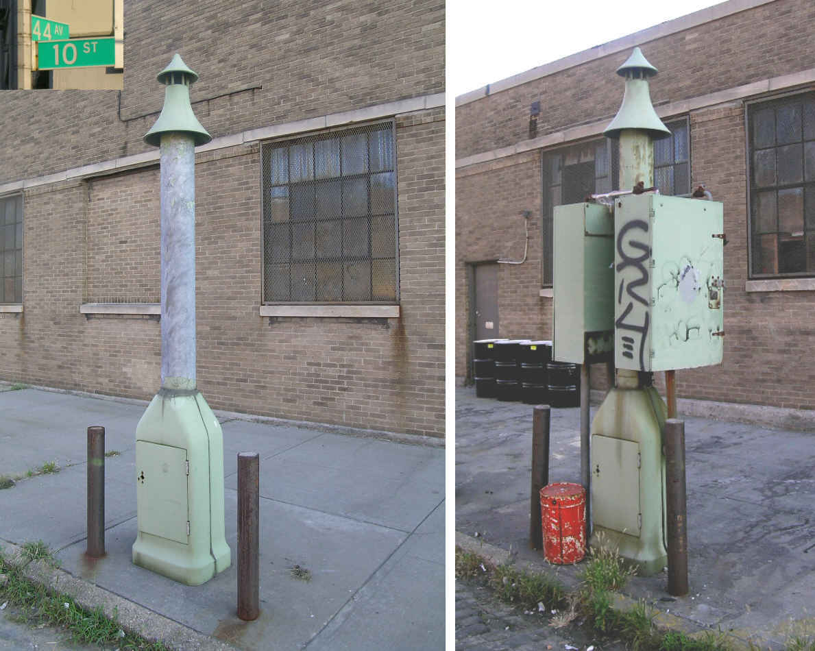
| Markings and signage along 10th Street near 43rd Avenue. There
were pipeline street markings along much of 10th Street.
|
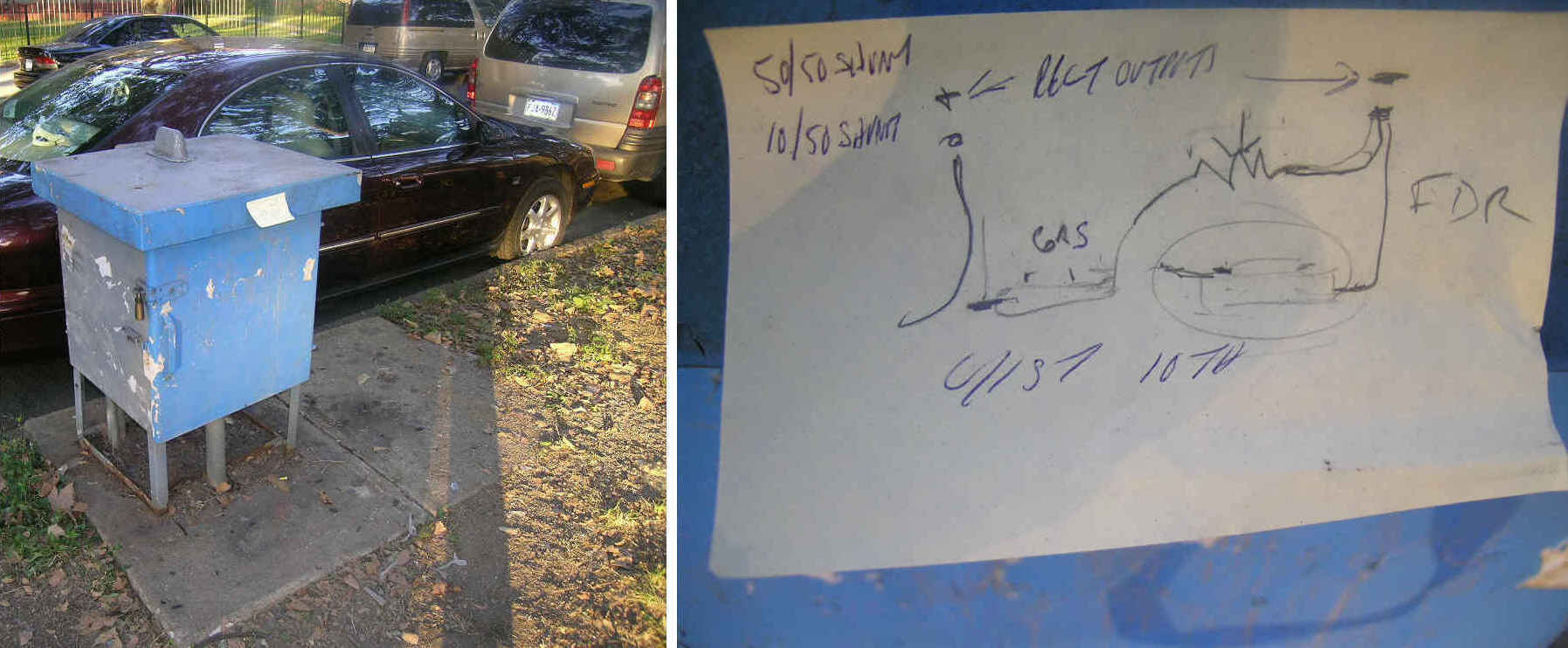
| A gas regulator with worker's note attached, near 10th Street and
42nd Avenue.
|
| Pipeline markers and street markings at 10th Street and 42nd Avenue,
adjacent to the Queensboro Bridge.
|
| A small municipal power plant on Vernon Boulevard near 43rd Avenue.
This was served by a 20" line running along Vernon Boulevard which branched off the main 24" line. There were pipeline street markings along much of Vernon Boulevard.
|
| A gas regulator/vent near the municipal power plant above. This served
a 20" line parallel to the 24" line on 10th Street.
|
| A pair of regulator/vents at 10th Street and 44th Avenue.
|