Eyeballing
Mississippi River Bridges
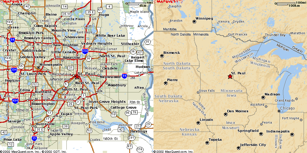
St. Paul, MN
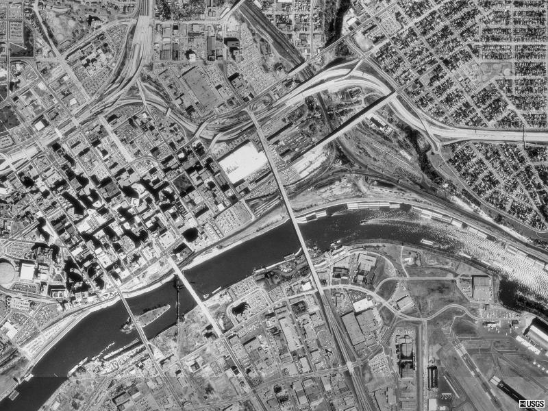
St. Paul, MN Smith Avenue (MN Route 149, center) (Other St. Paul bridges up river)
USGS photo 17 Apr 1991
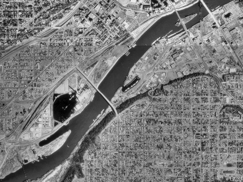
St. Paul, MN Wabash Street (left), Robert Street (center), US52 (right)
USGS photo 17 Apr 1991
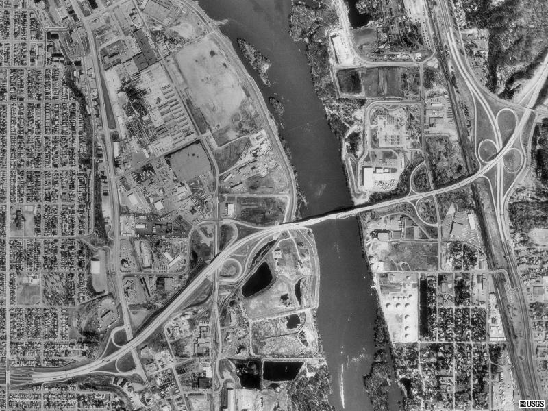
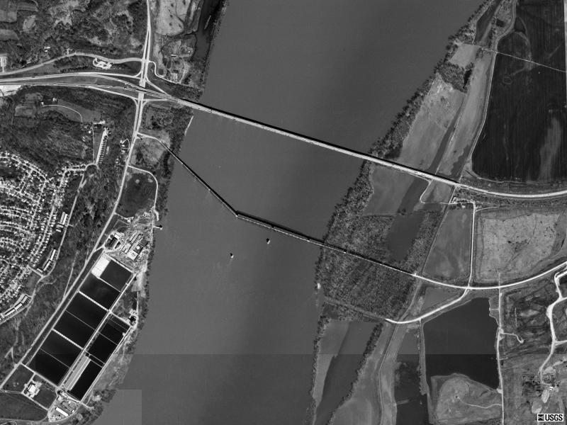
St. Paul, MN Interstate 494
USGS photo 17 Apr 1991
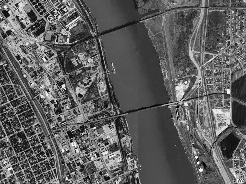
Hastings, MN
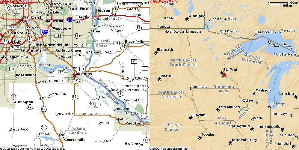
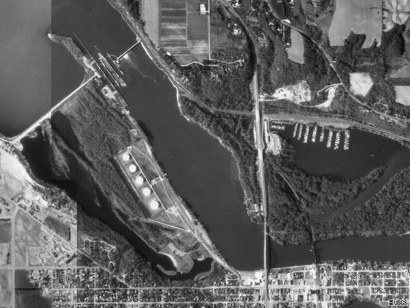
Hastings, MN US 61
USGS photo 7 May 1992
Red Wing, MN
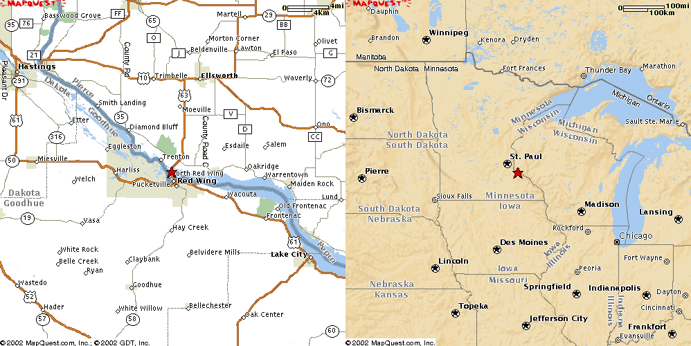
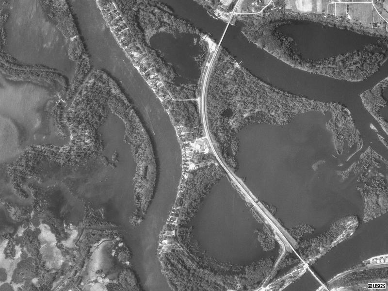
Red Wing, MN US63
USGS photo 7 May 1992
La Crosse, WI
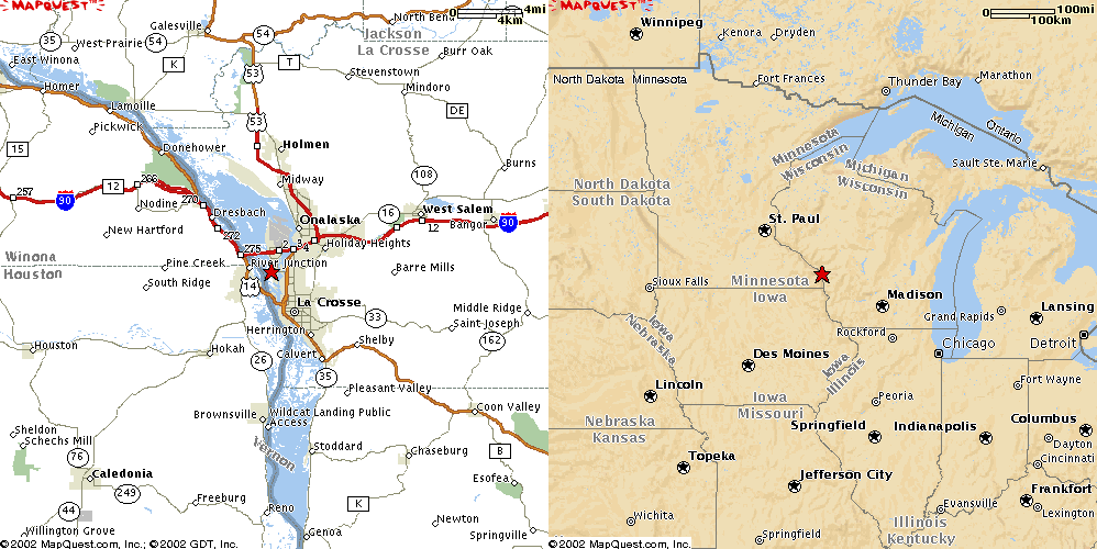
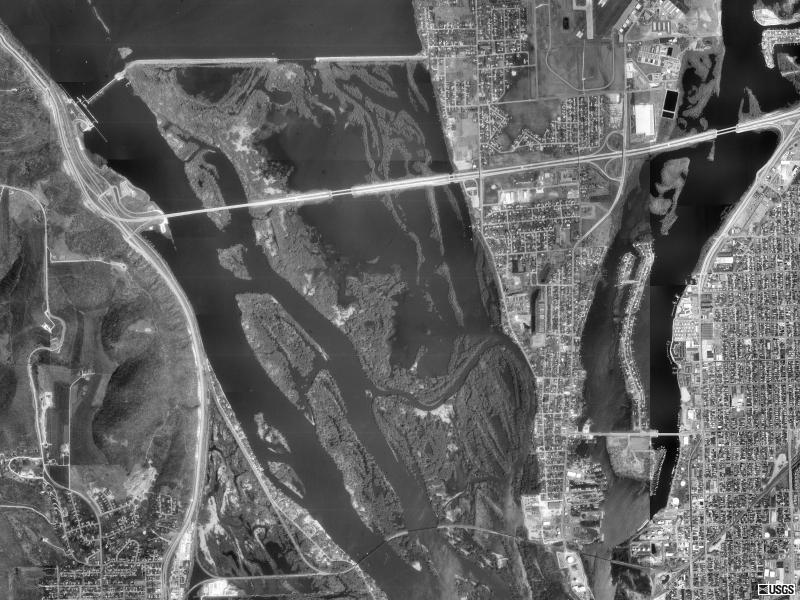
La Crosse, WI Interstate 90
USGS Photo 5 May 1992
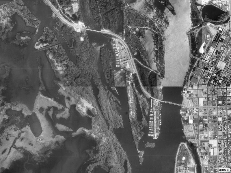
La Crosse, WI US14
USGS photo 5 May 1992
Prairie Du Chien, WI
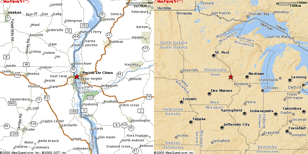
Prairie Du Chien, WI US18
USGS photo 17 May 1994
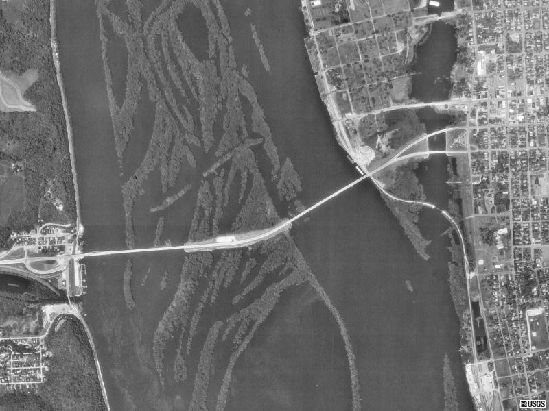
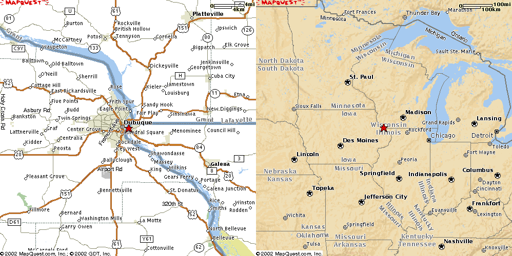
Dubuque, IA
Dubuque, IA US61
USGS photo 29 Mar 1999
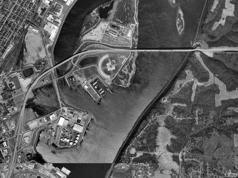
Dubuque, IA US 20
USGS photo 29 Mar 1999
Savanna, IL
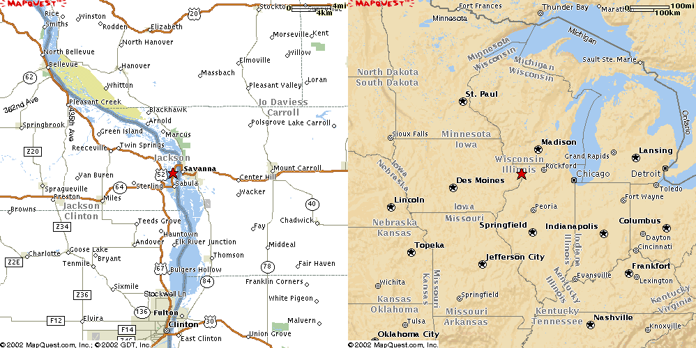
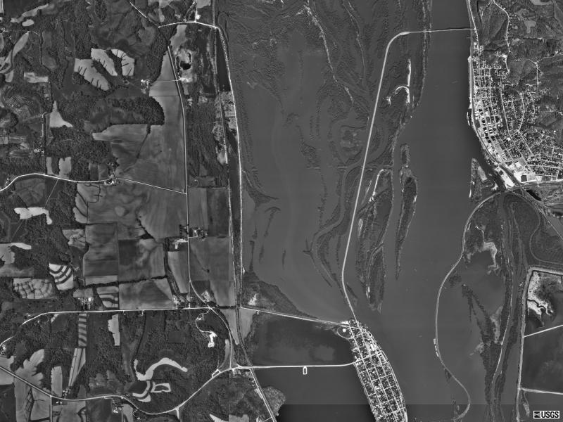
Savanna, IL US52
USGS photo 5 Apr 1998
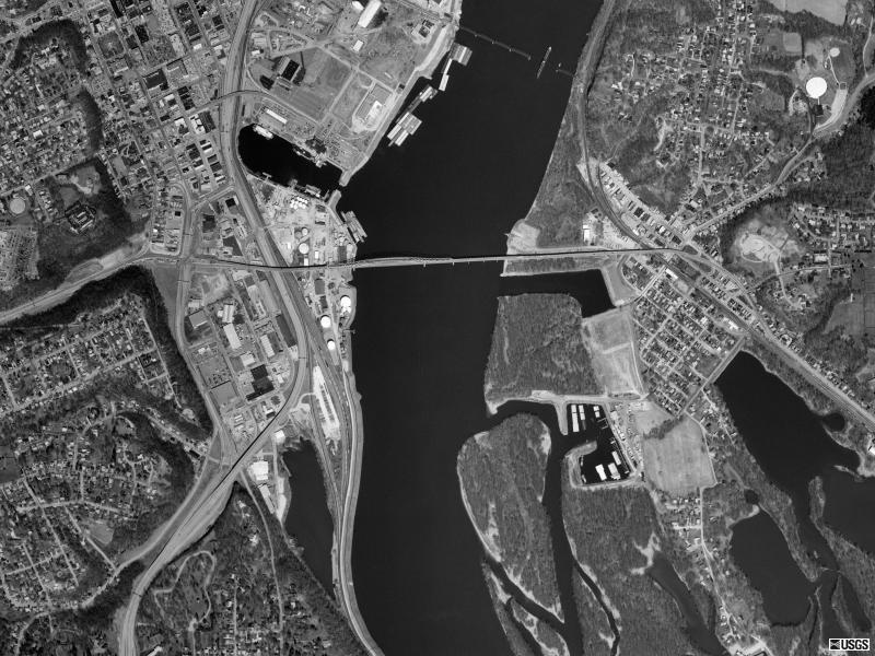
Clinton, IA
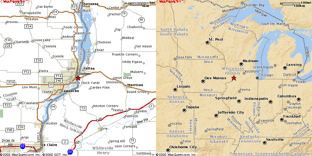
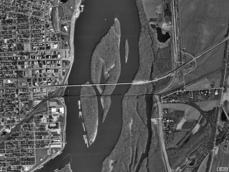
Clinton, IA US30
USGS photo 31 Mar 2000
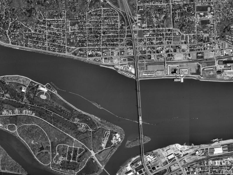
Rock Island, IL
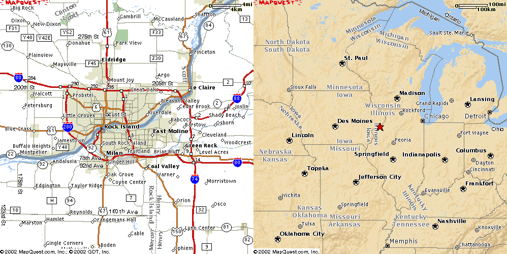
Rock Island, IL Interstate 74
USGS photo 30 Mar 2000
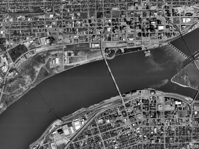
Rock Island, IL US67
USGS photo 30 Mar 2000
Rock Island, IL Interstate 280
USGS photo 30 Mar 2000
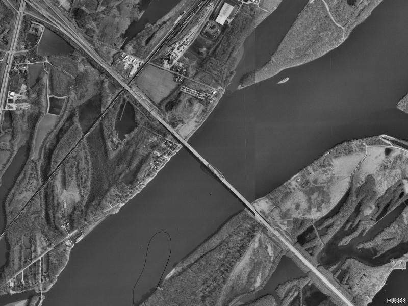
Muscatine, IA
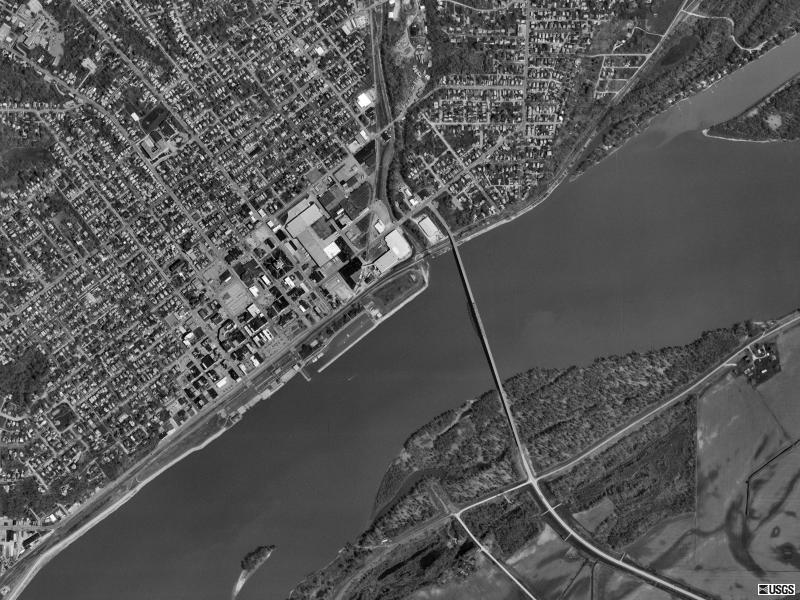
Muscatine, IA State 92
USGS photo 22 Apr 2000
Burlington, IA
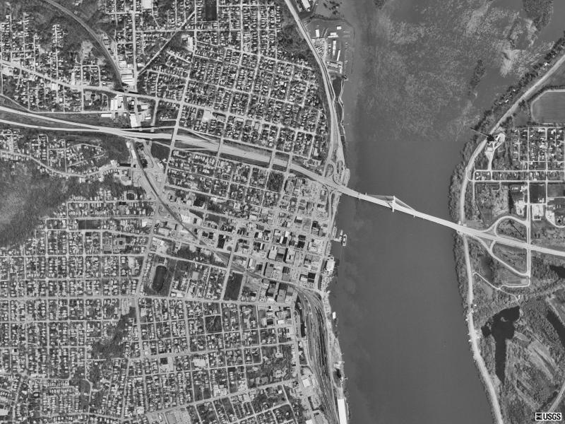
Burlington, IA US34 09
USGS photo 14 Apr 1998
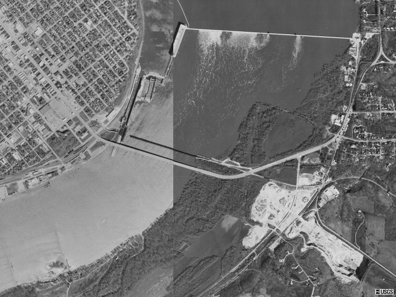
Fort Madison, IA
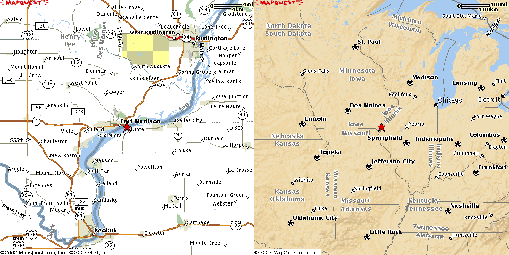
Fort Madison, IA State 9
USGS photo 12 Apr 1998
Keokuk, IA
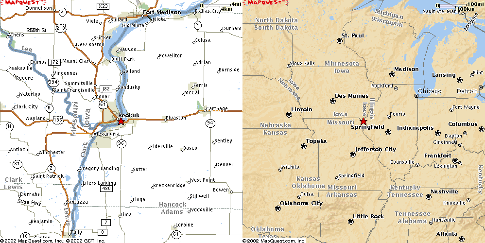
Keokuk, IA US136
USGS phot 12 Apr 1998
Quincy, IL
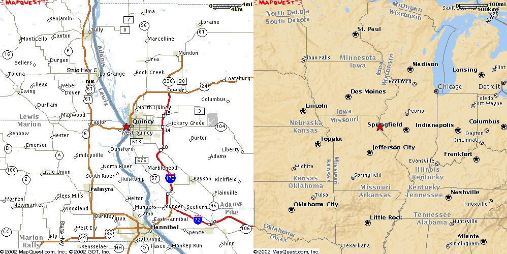
Quincy, IL US24
USGS photo 24 Mar 1999
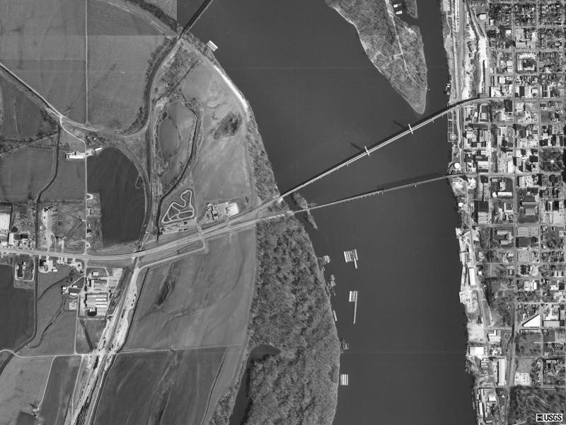
Hannibal, MO
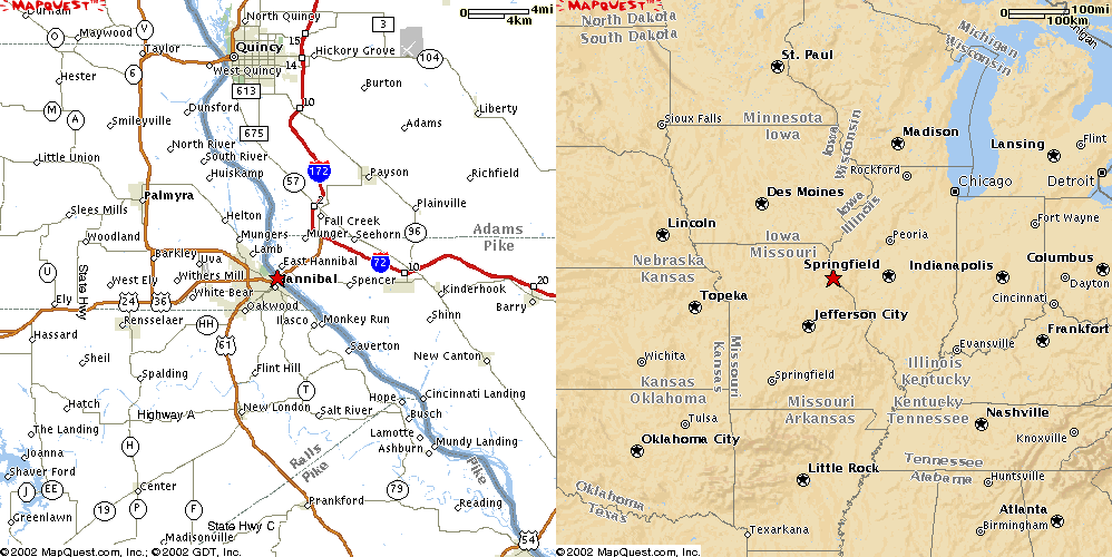
Hannibal, MO US36
USGS photo 12 Apr 1999
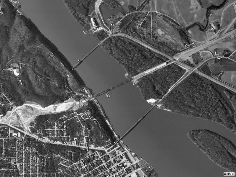
Louisiana, MO
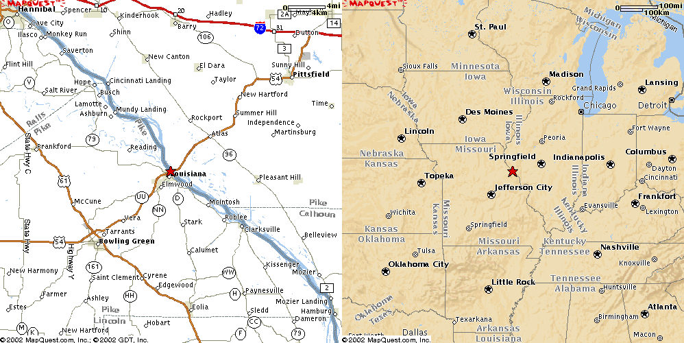
Louisiana, MO US54
USGS photo 14 Apr 1998
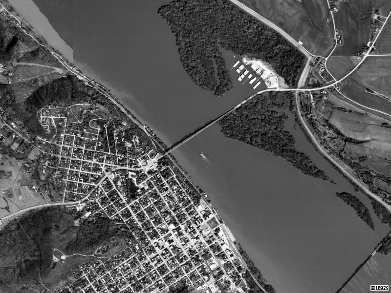
Alton, IL
Alton, IL US 67
USGS photo 2 Apr 1998
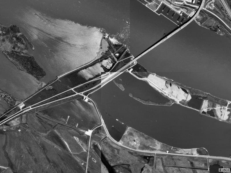
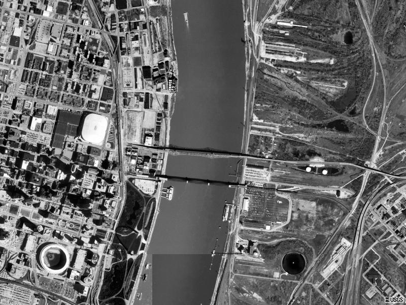
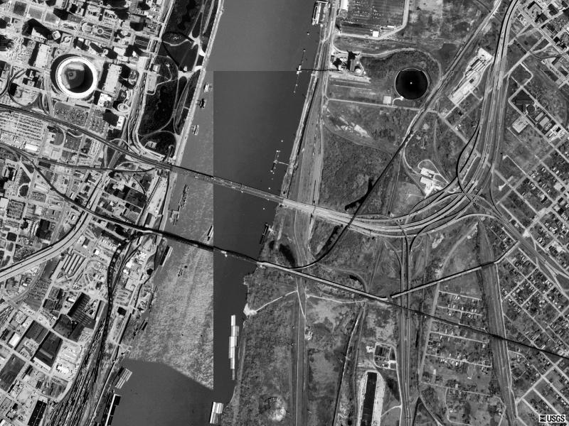
St. Louis, MO
St. Louis, MO Interstate 270
USGS photo 2 Apr 1998
St. Louis, MO McKinley
USGS photo 2 Apr 1998
St. Louis, MO Martin Luther King
USGS photo 2 Apr 1998
St. Louis, MO Interstate 55
USGS photo 2 Apr 1998
St. Louis, MO Interstate 255
USGS photo 2 Apr 1998
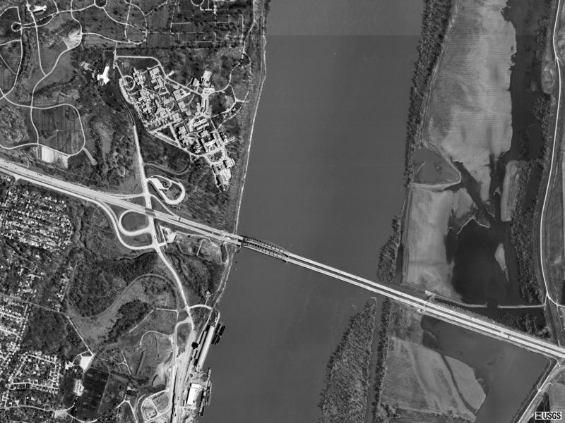
Chester, IL
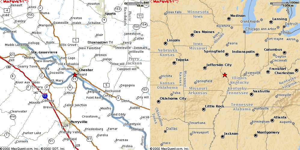
Chester, IL State 150
USGS photo 2 Apr 1998
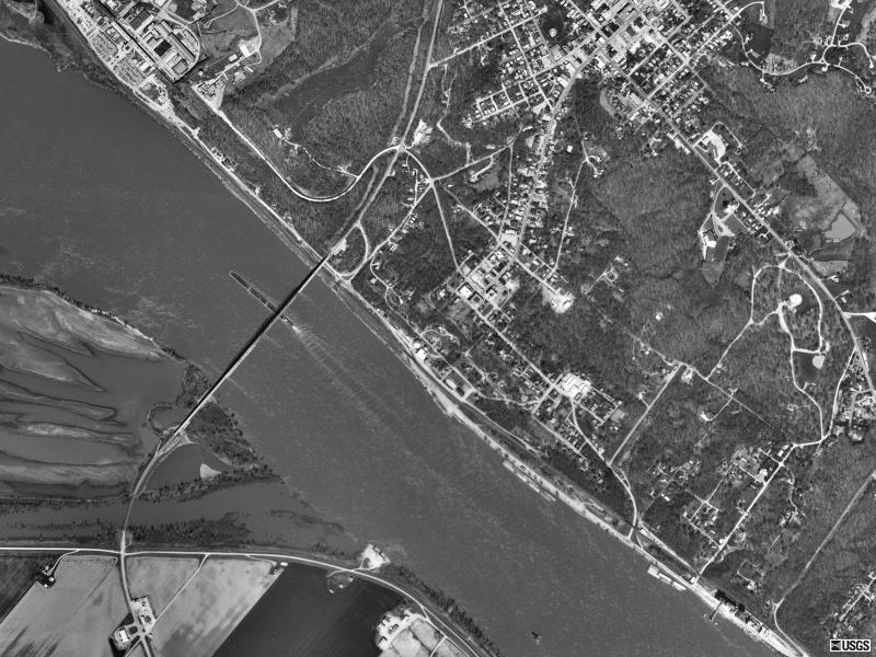
Cape Girardeau, MO
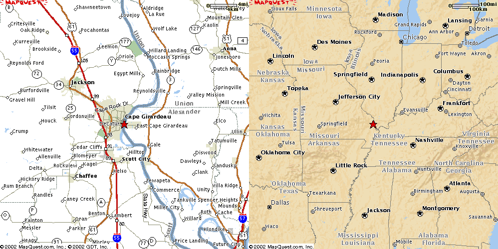
Cape Girardeau, MO State 146
USGS photo 22 Mar 1996
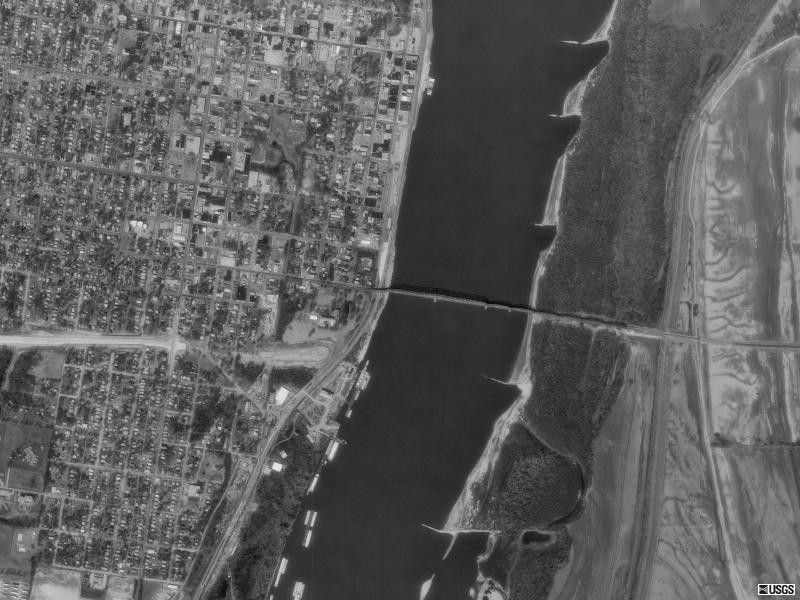
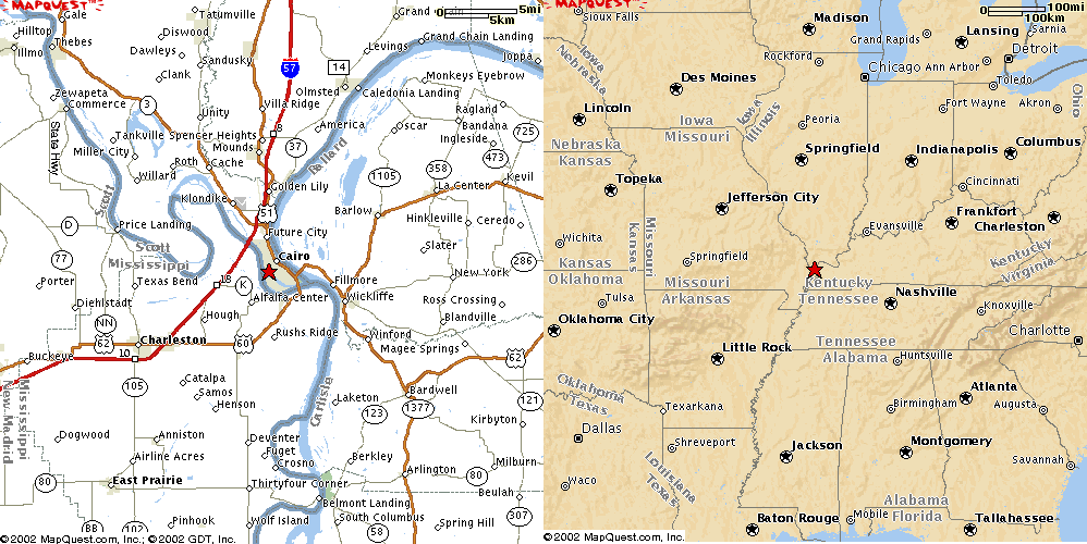
Cairo, IL
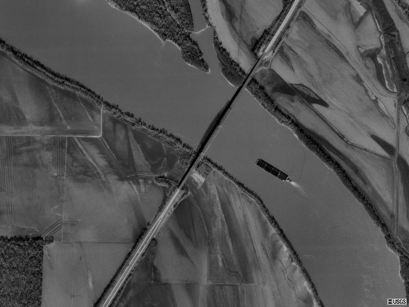
Cairo, IL Interstate 57
USGS photo 22 Nov 1998
Cairo, IL US60
USGS photo 6 Apr 1998
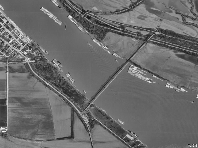
Boothspoint, TN
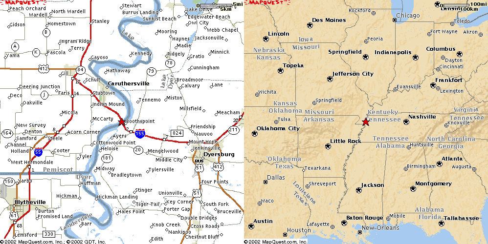
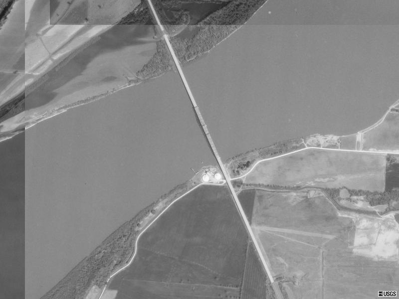
Boothspoint, TN Interstate 155
USGS photo 6 Apr 1998
Memphis, TN
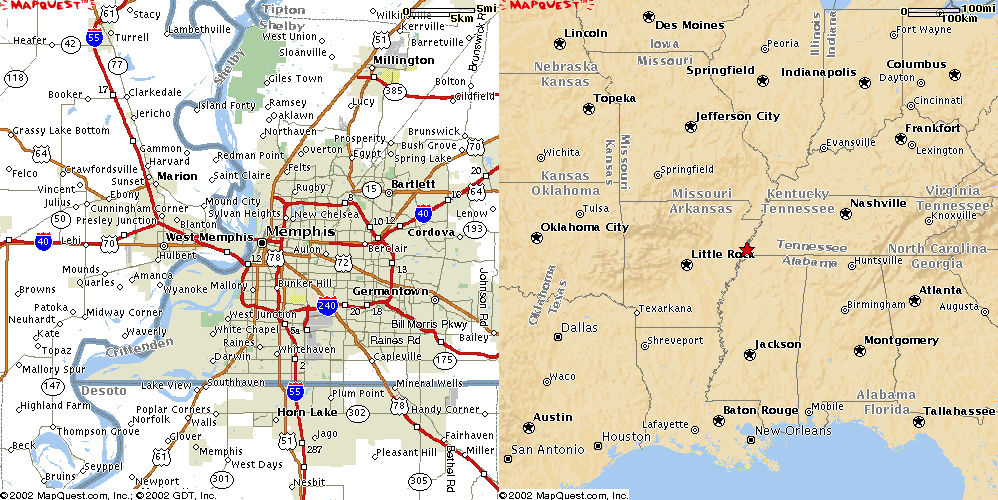
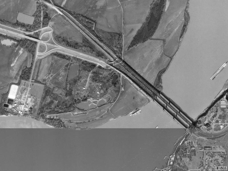
Memphis, TN Interstate 55
USGS photo 29 Jan 1997
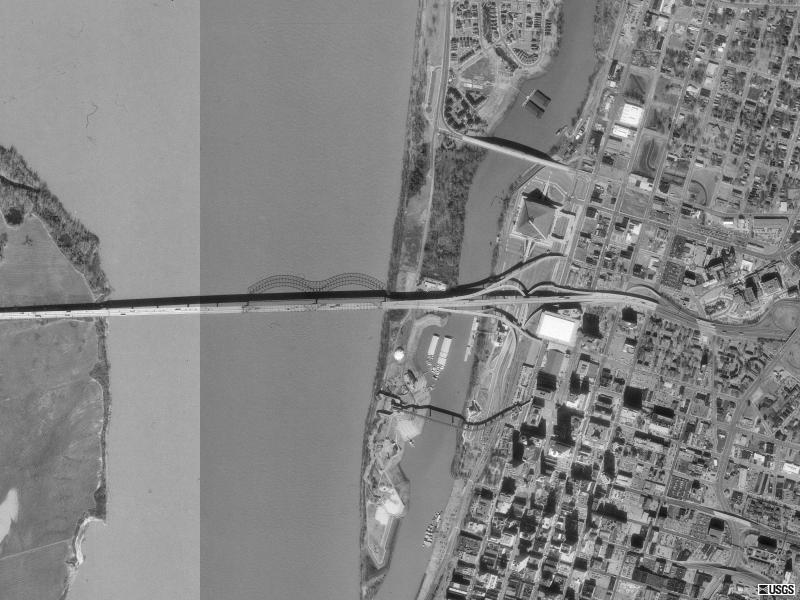
Memphis, TN Interstate 40
USGS photo 29 Jan 1997
Helena, AR
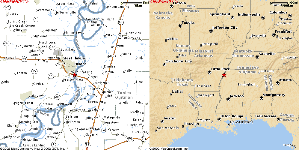
Helena, AR US49
USGS photo 10 Apr 1996
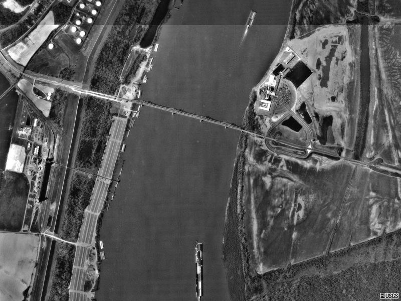
Greenville, MS
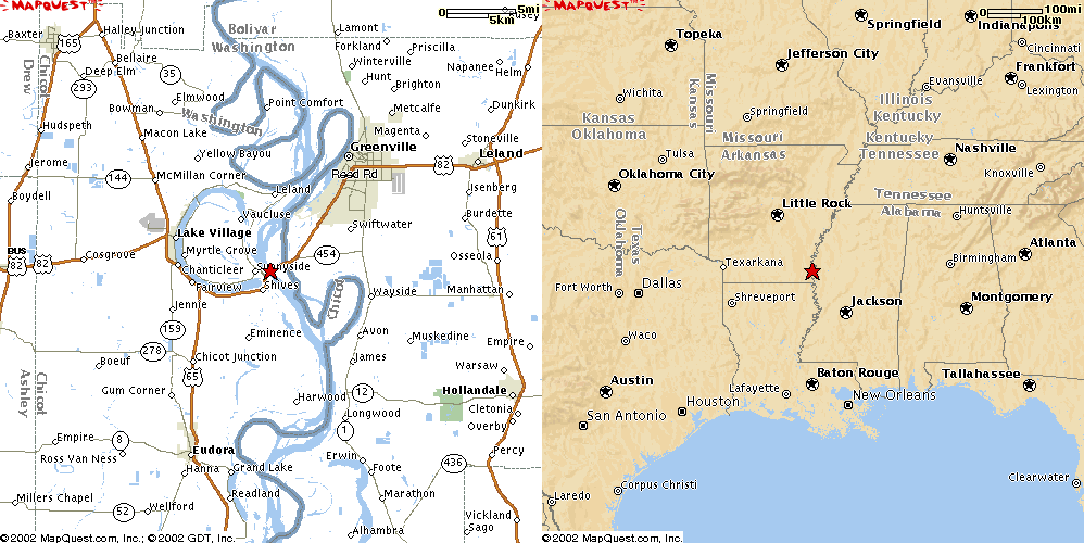
Greenville, MS US82
USGS photo 27 Feb 2000
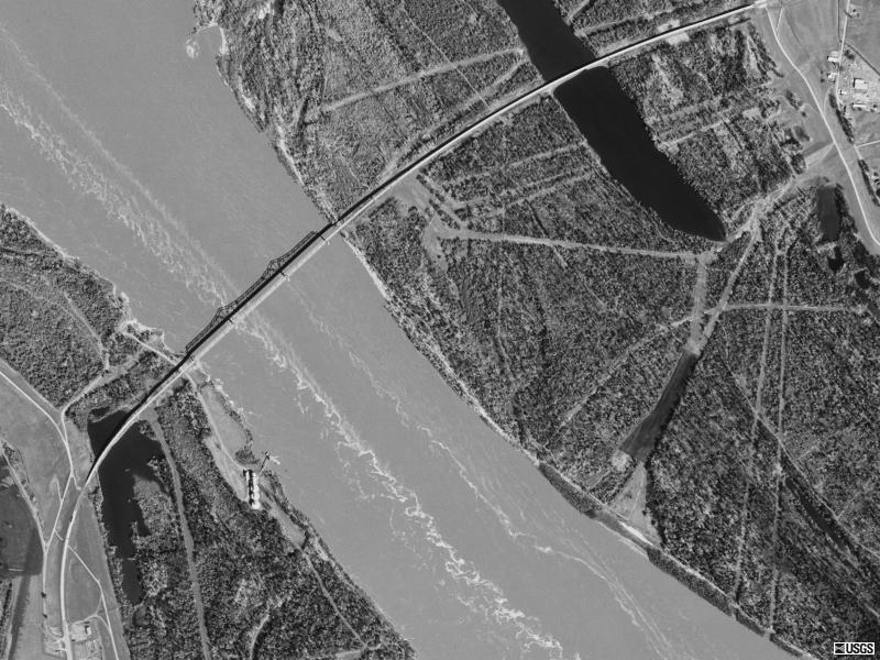
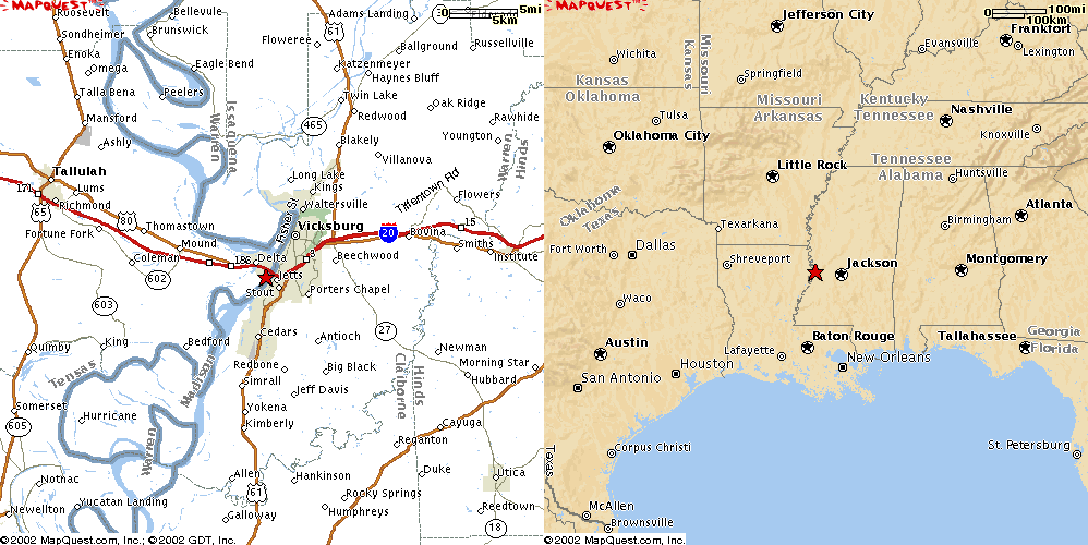
Vicksburg, MS
Vicksburg, MS Interstate 20
USGS photo 14 Feb 1994
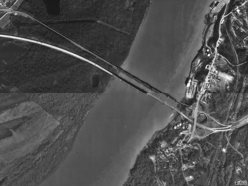
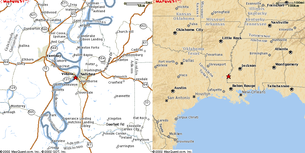
Natchez, MS
Natchez, MS US65
USGS photo 10 Mar 1996
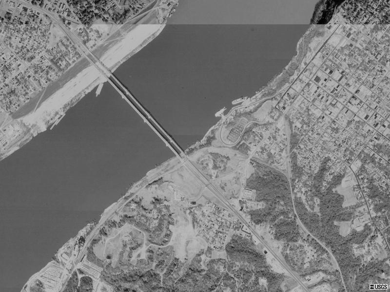
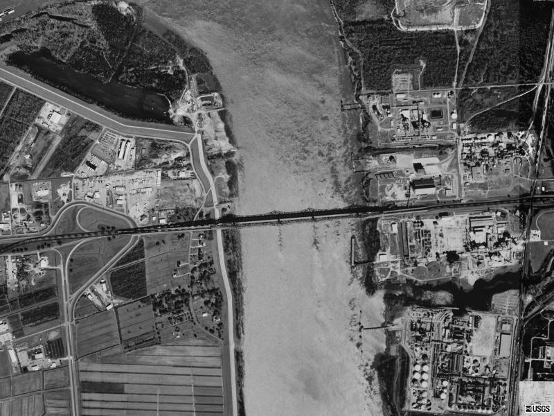
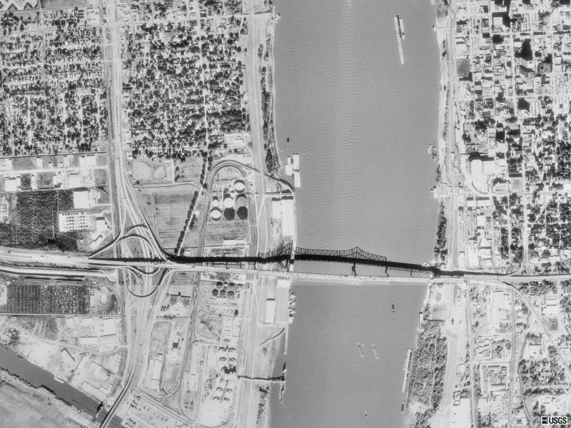
Baton Rouge, LA
Baton Rouge, LA US190
USGS photo 21 Feb 1998
Baton Rouge, LA Interstate 10
USGS photo 13 Dec 1989
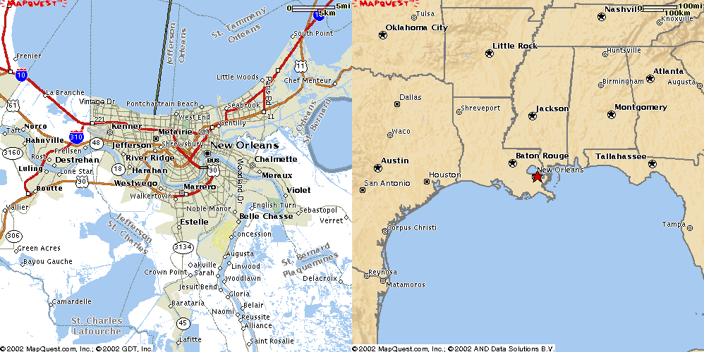
New Orleans, LA
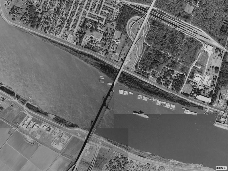
New Orleans, LA Interstate 310
USGS photo 4 Feb 1998
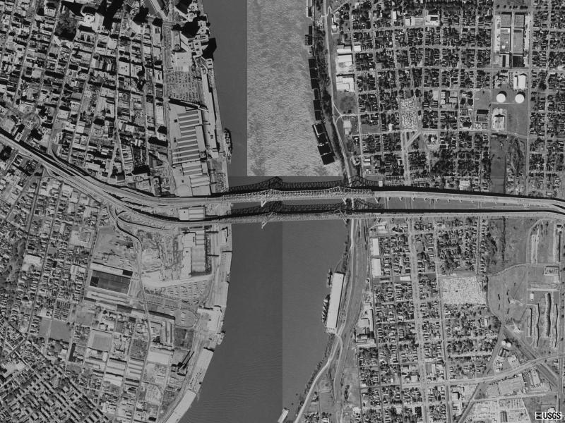
New Orleans, LA US90
USGS photo 24 Jan 1998