[Excerpts]
American military satellites are controlled in orbit by the Air Force Satellite Control Network (AFSCN), a worldwide system which tracks the satellites, receives and processes data transmitted by them, and sends commands to them. Dedicated control segments support individual satellite systems, but a common user element provides support to all satellites belonging to DOD. The common user element presently consists of two control nodes, two scheduling facilities (one at each node), eight remote tracking sites, and the associated communication links.
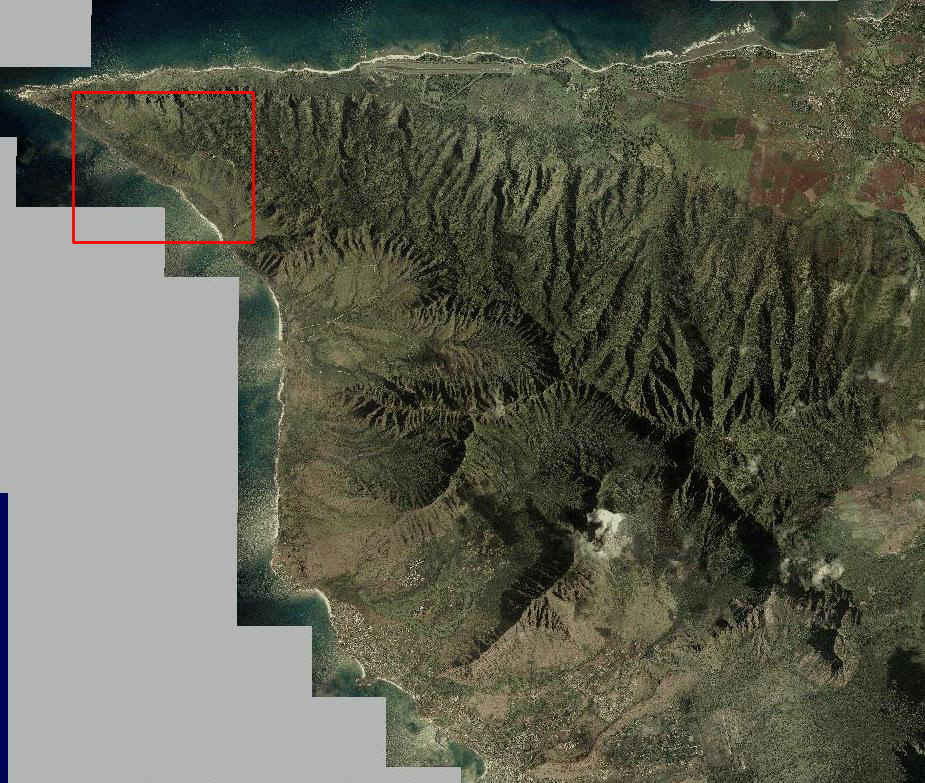
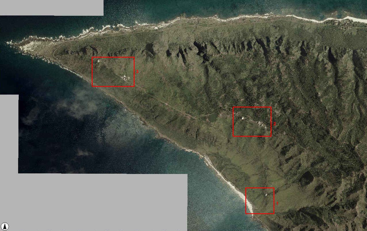
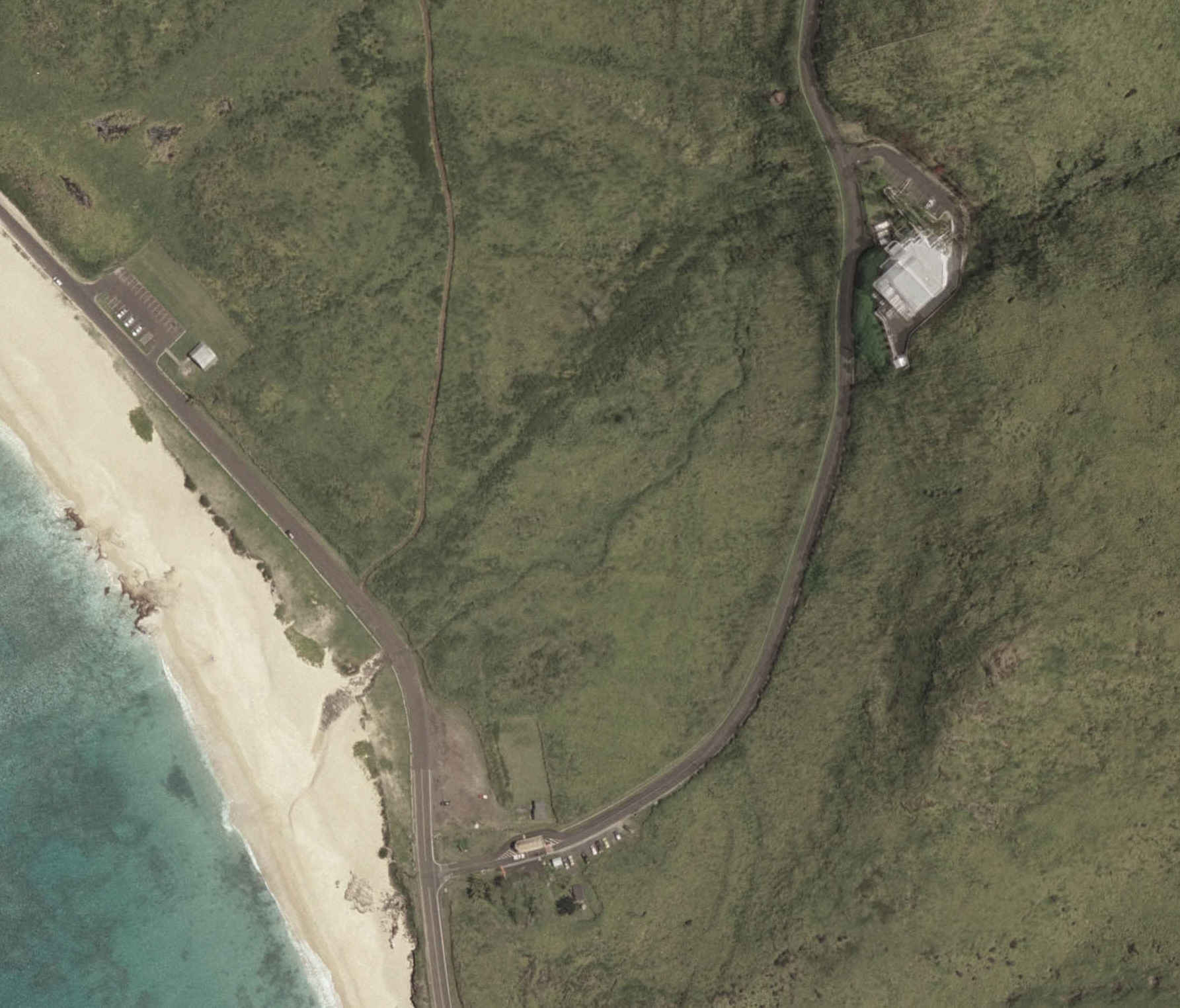
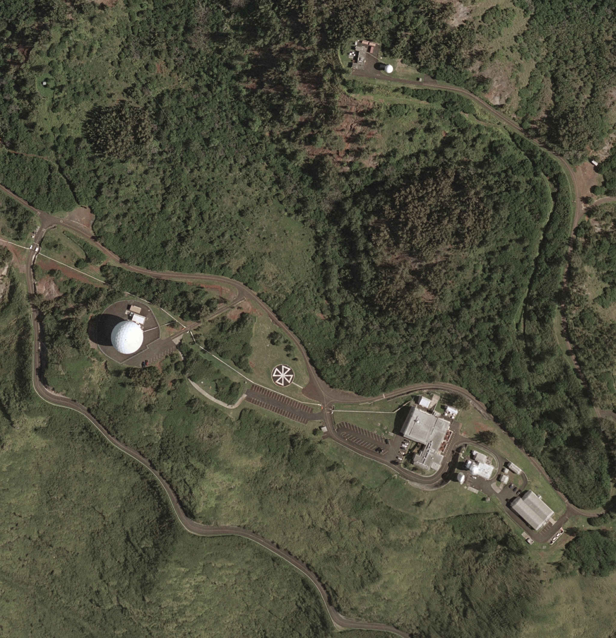
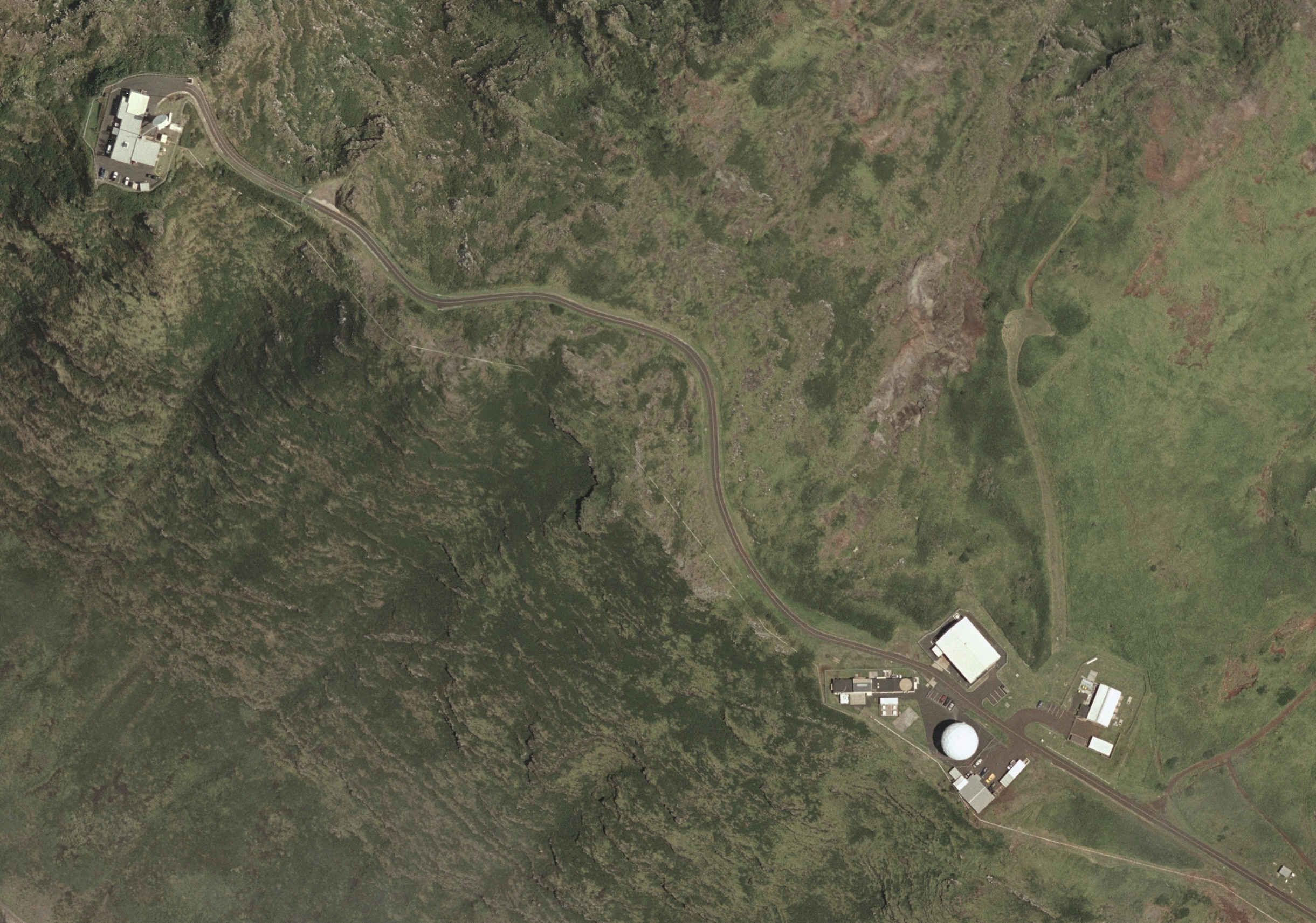
At the time this overview was written, there were eight remote tracking stations. Their locations (with the years in which they were built) were as follows: Vandenberg Tracking Station (1959) at Vandenberg AFB, California; New Hampshire Station (1959) near New Boston, New Hampshire; Hawaii Tracking Station (1959) on the island of Oahu, Hawaii; Thule Tracking Station (1962) at Thule AFB, Greenland; Guam Tracking Station (1965) at Anderson AFB, Guam; Oakhanger Telemetry Control Station (1978) near London, United Kingdom; Colorado Tracking Station (1989) at Falcon AFB, Colorado; and Diego Garcia Tracking Station (1991) on the island of Diego Garcia in the Indian Ocean.
Another significant upgrade was the Automated Remote Tracking Station (ARTS) program, which introduced more modern equipment at the tracking stations. The contract for Phase I of the ARTS program was awarded to Ford Aerospace and Communications Corporation on 1 June 1984, and the contract for Phase II was also awarded to Ford Aerospace on 5 August 1988. The Phase II contract expired in March 1995. By that time, ARTS equipment had been installed at all the existing tracking stations and had been used to establish new tracking stations in Colorado Springs and on the island of Diego Garcia. The new equipment offered improved reliability, increased the operational capacity of the tracking stations, and automated many of the functions they performed. Automation and improved reliability reduced the manpower required to operate and maintain the tracking stations and reduced operations and maintenance costs.
SMC awarded a series of contracts dealing with the AFSCN to Lockheed Martin in 1996. These efforts would modernize most segments of the AFSCN and increase its capabilities. They covered range and communications development, network operations, network integration, and command and control sustainment. By early 2003, the contractor had completed most of these efforts except for certain improvements to the AFSCN’s communications segment. However, the program office decided to consolidate sustainment of the AFSCN with ongoing development, systems engineering, and integration. On 18 December 2001, SMC awarded the effort, known as the Satellite Control Network Contract, to Honeywell Technology Solutions. By 2002, SMC was also managing a coordinated series of modernization projects, known as the Remote Tracking Station Block Change, to upgrade and standardize each of the tracking stations in turn. Design reviews took place in 2002 and 2003, and the tracking stations were scheduled to actually receive the changes from 2004 through 2009.
![[Image]](kpts-59-90s.jpg)
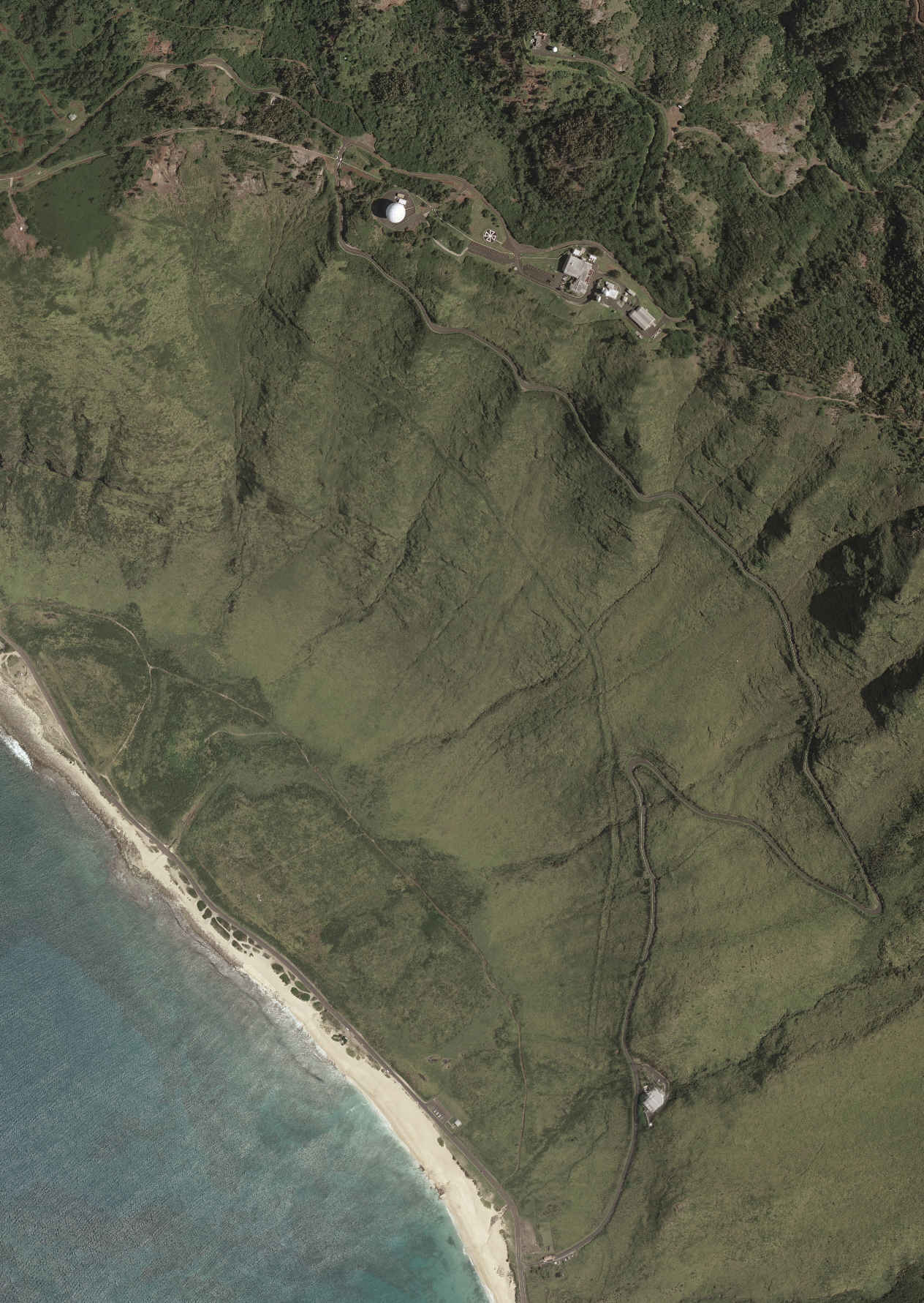
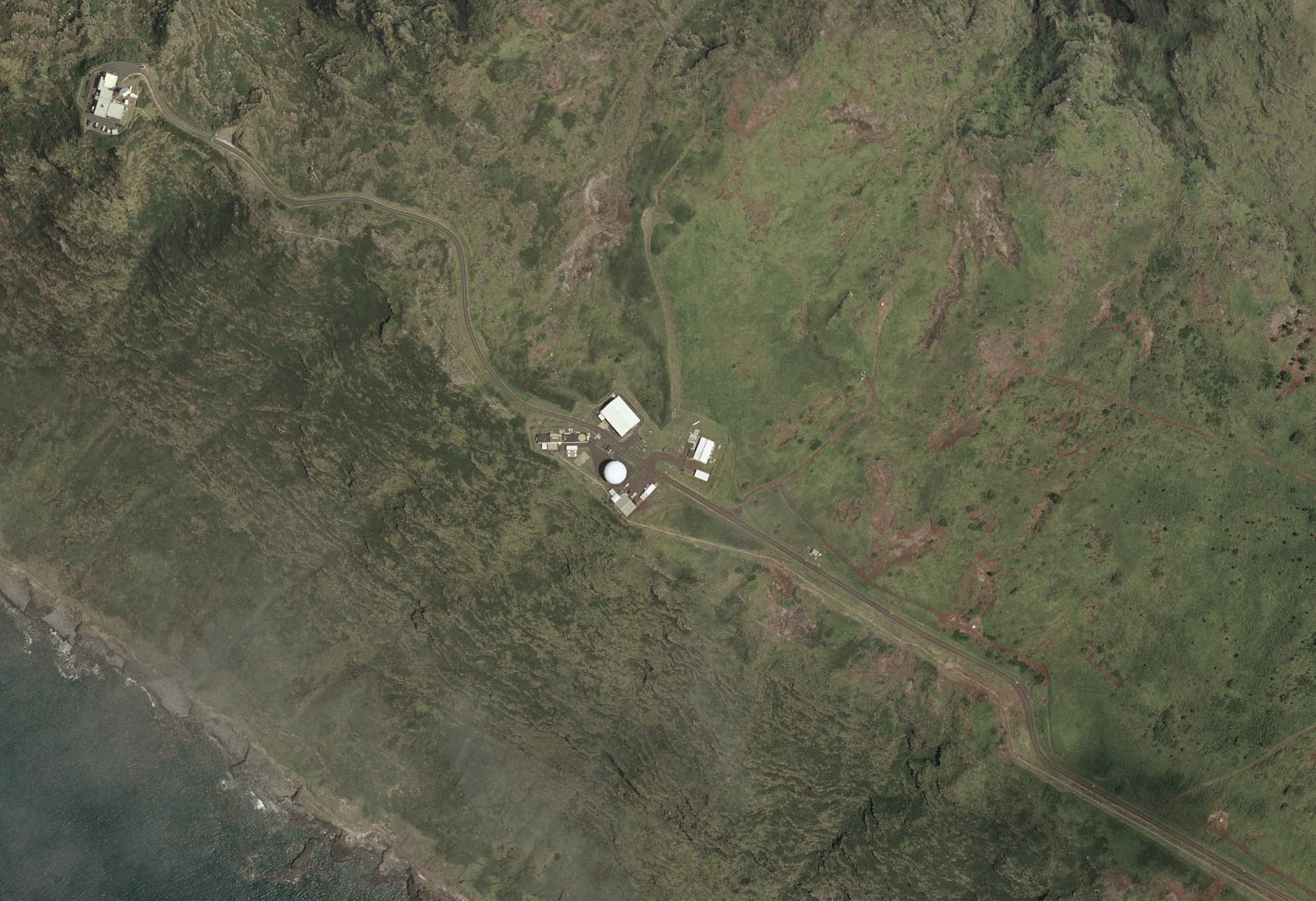
Left: The Air Force satellite tracking station at Kaena Point on the island of Oahu, Hawaii, soon after its construction in 1959. Right: Kaena Point in about the early 1990s.

![[Image]](kpts-071.jpg)
![[Image]](kpts-072.jpg)